
(1).png?n=7605)
Remote Sensing
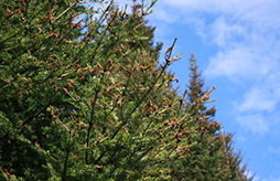
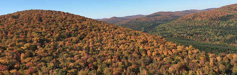 Remote sensing: scanning of the forest by aircraft or satellite in order to obtain information about the forest lands we manage.
Remote sensing images, combined with forest classification maps, help describe many aspects of the forest. From this information, we prepare a forest management plan to sustainably manage multiple values including: watercourses, wildlife habitat, recreation areas, timber supply, road maintenance, silviculture, biodiversity, and fire control.
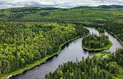
Today’s forester uses Global Positioning Systems (GPS) to update our forest management activities with greater frequency and accuracy than ever before. GPS technology on harvesting equipment is also used to track actual harvest levels.
J.D. Irving, Limited was the first forestry company in Canada to build and maintain a Geographic Information Systems (GIS) and GPS technology in the early 1980s!
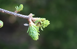
New Light Detection and Ranging (LiDAR) technology is providing even more detailed terrain mapping, forest inventory, and operational planning improvements.
Depth-to-Water-Table mapping developed by Dr. Paul Arp at the University of New Brunswick improves our forest road location, determines potential unmapped streams, reduces operational site impacts, and is being used to help predict site productivity.
J.D. Irving, Limited continues to work with the Canadian Forest Service, several universities, and leading IT companies to develop and leverage spatial technology to improve forest management.
LiDAR is like an MRI of the forest; we use it to measure dozens of forest characteristics like tree height, number of trees, and more. It is so accurate that we can know the height of a tree to within 10 cm and depressions on the ground to within 3 cm! This new level of accuracy allows us to plan at a much higher level of detail than ever before for multiple values.
Related

Irving Nature Park & La Dune de Bouctouche - Celebrating 20,000 students through Project Webfoot with Ducks Unlimited Canada

Nature Conservancy of Canada receives $1 million gift from J. D. Irving, Limited

Eleven Reasons to Celebrate World Wetlands Day!

Woodlands Welcomes Winter Co-Ops

Songbird Study Update

J.D. Irving, Limited supporting moose study to examine impacts of winter tick

Northeast Deer Research Partnership in Second Year

Northeast Deer Research Partnership in Second Year

Congratulations Dr. MacLean

University of New Brunswick launches Atlantic salmon research chair as part of $1.3 million in funding from Collaboration for Atlantic Salmon Tomorrow

J.D. IRVING WINS SFI INC. AWARD FOR CONSERVATION LEADERSHIP ON 68 FOREST RESEARCH PROJECTS
Healthier Trees Grown Faster

Greg Adams Honoured with Forester Achievement Award
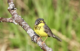
Listening to Forest Song Birds

Collaboration for Atlantic Salmon Tomorrow (CAST) Funding
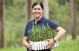
Use of Advanced Reforestation Stock Technologies

Irving Woodlands LLC Releases its Annual outcome Based Forestry Update for Maine

CAST - ARIS
.jpg)
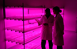
Science in the Woods with J. D. Irving, Limited

Enviro-Training at J.D. Irving, Limited with Kelly Honeyman

J.D. Irving, Limited Honoured for Outstanding University-Industry Partnership and Ground-Breaking Discovery

Dr. David Miller and JDI Honoured for Outstanding University-Industry Partnership and Ground-Breaking Discovery

Sharing Data on Species and Ecological Conservation at J.D. Irving, Limited

Linking Landscape Variables to Cold Water Refugia in Rivers
_small.jpg)
A Comprehensive Greenhouse Gas Balance for a Forest Company Operating in Northeast North America
An Optimistic Outlook on Spruce Budworm Impacts and Mitigation Opportunities in Maine
.jpg)
Spruce Budworm Decision Support
Spruce budworm and management effects on forest and wood product carbon for an intensively managed forest
.jpg)
Temporal Changes in species composition of mixedwood stands in Northwest New Brunswick: 1946 - 2008
Irving Woodlands recognizes National Forest Week
.jpg)
NB Birds Migrating up to 13,000 km!

CAST Scientists Internationally Published for Largest Genetic Study in North America on Wild Salmon

Recognizing World Migratory Bird Day
.jpg?n=6166)
Biodiversity Conservation in Planted Forests
Engineering our Future

Adapting to a changing climate
Questions about our Healthy Forest Approach? Read the FAQ.