Inventory
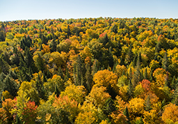
J.D. Irving, Limited’s Woodlands Division is responsible for providing a sustainable, high quality wood supply for our customers and for ensuring the lands we own or manage are managed to the highest quality under the principles of Sustainable Forest Management (SFM). Our over 100 dedicated forestry professionals are committed to using the most current science and leading edge technology to guide its forest planning activities.

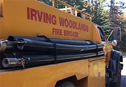
We use computerized mapping and databases Geographic Information System (GIS) to accurately locate environmentally sensitive and critical wildlife habitats including: water and wetland buffer zones; deer wintering areas; old forest habitats; endangered species sites, raptor nest areas, bear dens, moose calving areas; protected areas; recreational, cultural or other “unique” areas.
We use the latest aerial and satellite imagery or Light Detection and Ranging (LiDAR) data, coupled with millions of ground measurements to ensure our harvest levels are sustainable. Today we grow more wood than we harvest every year.
We rely on very accurate Global Positioning System (GPS) equipment in the hands of trained professionals to identify any features that require special attention during harvesting or road construction. On-board navigation equipment helps the operators to ensure sensitive features are protected.
Our information systems are kept up to date on a daily basis using data collected automatically from our field staff, harvest, road construction/maintenance machinery, and transportation systems.

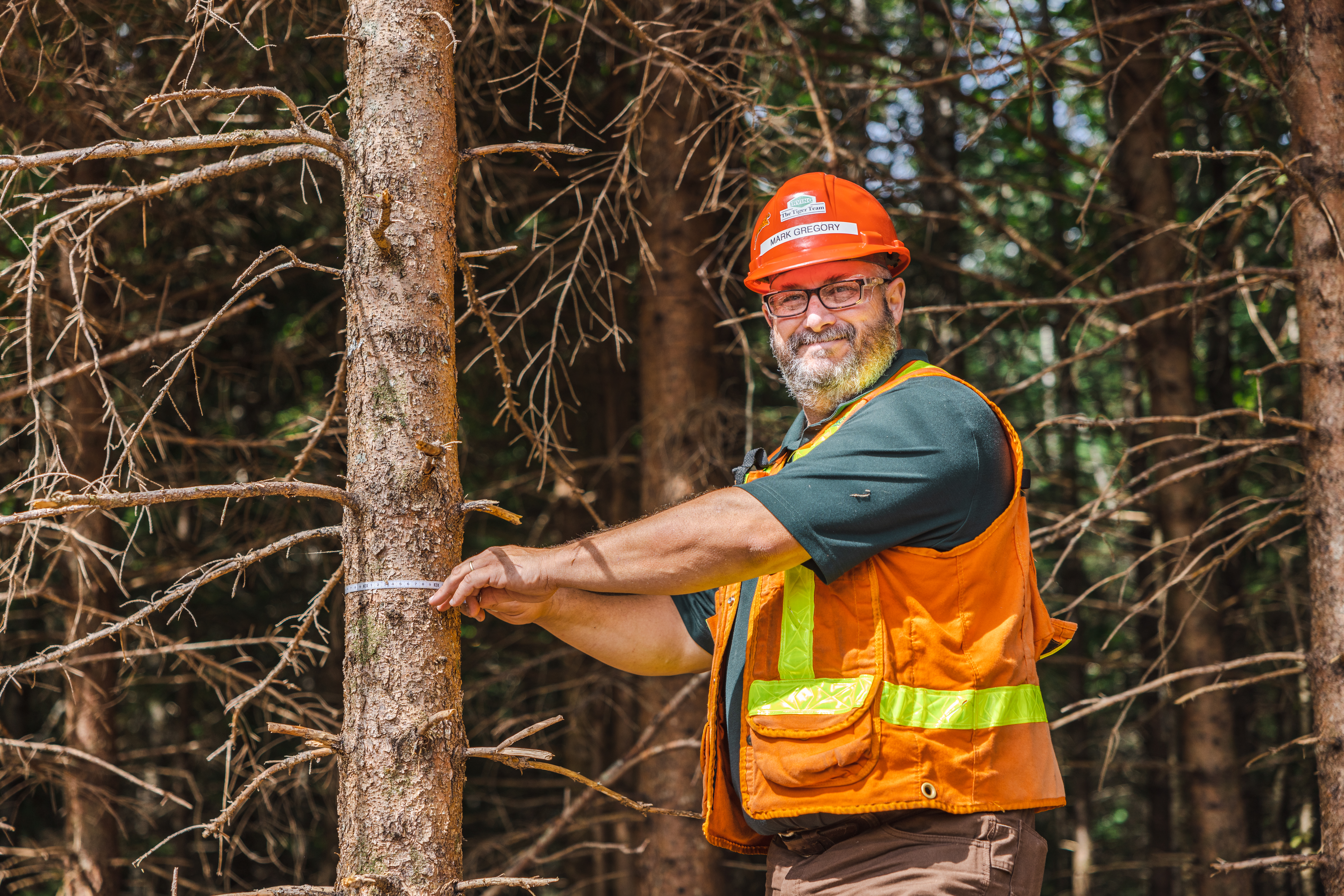
Our forestry professionals work hard to leave the forest better than they find it. Renewing the forest for future generations is one of the most important responsibilities of our many forestry professionals.
Through careful planning and the use of leading edge tools and technologies, we ensure that a new forest will be properly regenerated. Each forest stand is unique and is evaluated prior to harvest to determine the best regeneration and harvesting method.
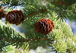
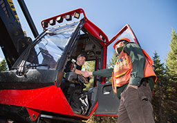
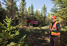
Before the harvesting crews enter a forest harvest block, the area is first pre-screened by a trained forest professional who verifies, locates and buffers all environmentally sensitive areas – watercourses and critical wildlife habitats. The forest professional also verifies the harvesting treatment, relying on field computers, Global Positioning System (GPS) and state of the art forestry inventory from satellite and Light Detection and Ranging (LiDAR) to locate, map and communicate this information to everyone involved in the operation.
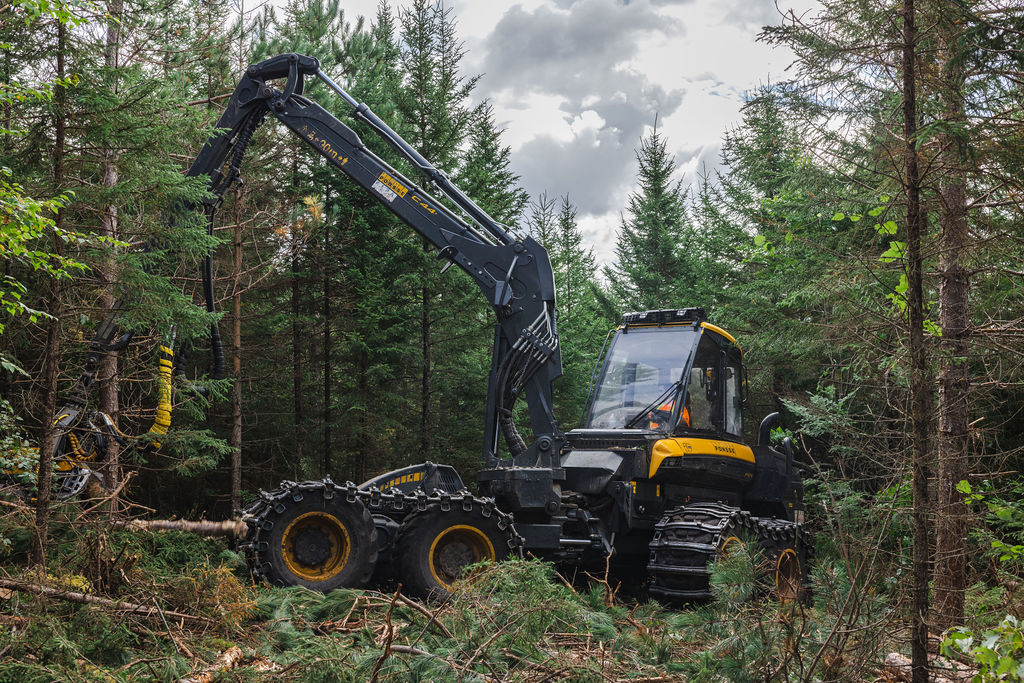
Our harvesting professionals are trained to use the latest technology (located in the machine) to implement the most suitable prescription for the stand. Ensuring that sensitive areas are respected and that every part of the harvested trees are brought to a mill to be used is the main objective. Sustainable forestry means less than 2% of the land base is harvested every year.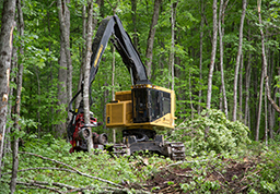
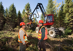
Growing a forest is no different than growing a garden. Diversity is good, you need to protect your plants and you need to look after them to ensure best growth. Foresters call this tending.
Tending can involve treatments like commercial thinning which is designed to promote the growth of larger trees, tolerant hardwood management for growing high value hardwoods, select cuts to promote natural regeneration and other non-clearcut prescriptions for habitat management or aesthetic reasons.
Tending can be carried out at different times in a tree’s life. For example, in conifers, competition is controlled at age two, un-merchantable trees are thinned at age fifteen, merchantable trees are thinned at age twenty-five and the stand is removed at age forty.
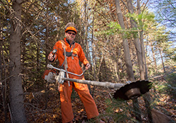
Forest land owned or managed by J.D. Irving, Limited is Third Party audited and certified to forest management and environmental standards. This ensures that forest management and operations are conducted in a manner that is sustainable – for the environment, people and communities as well as the economy. From seed to shelf, J.D. Irving, Limited’s forest products are tracked using a Third Party audit and certified chain of custody processes. This assures the customer that the product they are buying came from forests that are sustainable and well managed. Read more about forest certification.
Questions about our Healthy Forest Approach? Read the FAQ.